GISFORUS Field · Android
Field mapping & satellite analysis, in your pocket.
Pick a boundary anywhere on Earth, capture geotagged photos and field notes offline, and run any of 49 indices on your own Google Earth Engine, right from site.

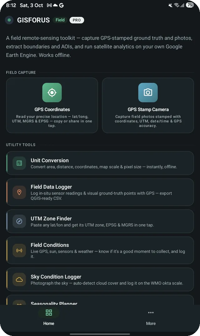
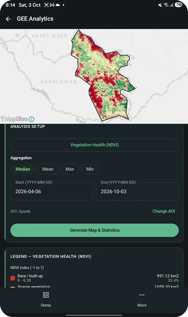
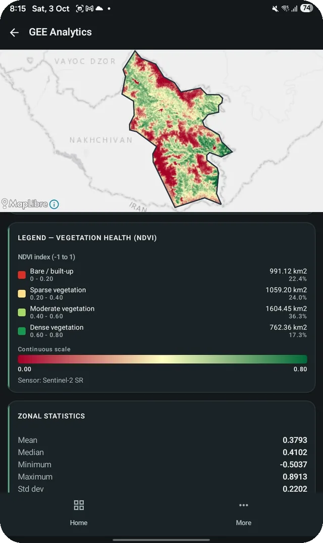
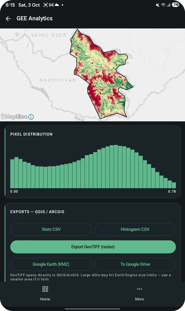
Everything in one app
Built for the field and the lab.
From on-site capture to a classified map with its area table, without stitching together five tools.
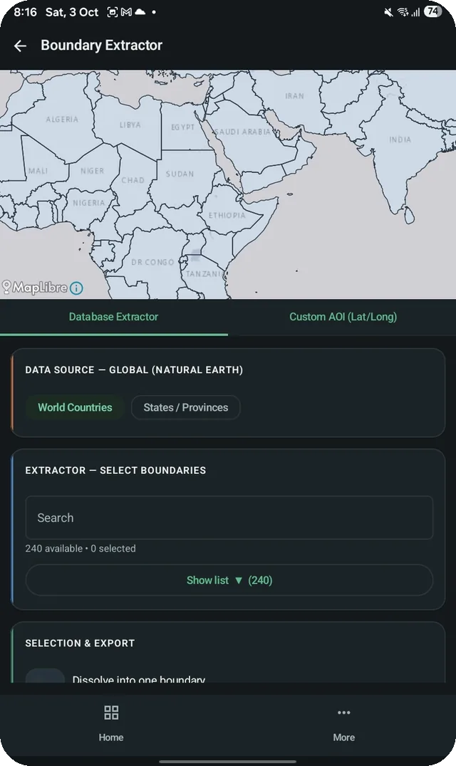
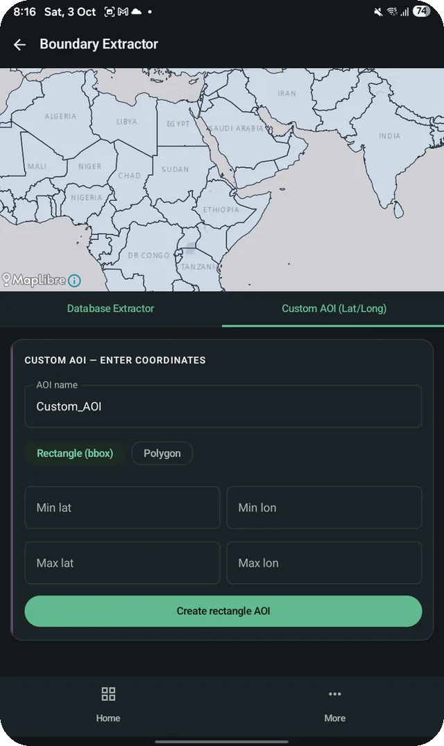
Boundary & shapefile extractor
Pick any country or state from a global database bundled in the app, or draw by lat/long, with true geodesic area. Works offline.
Earth Engine indices
49 indices across vegetation, water, built-up, fire, snow, temperature and night lights: NDVI, EVI, NDWI, NBR, LST and more.
Classified maps & area
Every result is clipped to your area, with a classified legend, per-class area in km² and %, zonal statistics and a distribution chart.
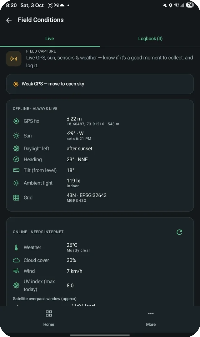
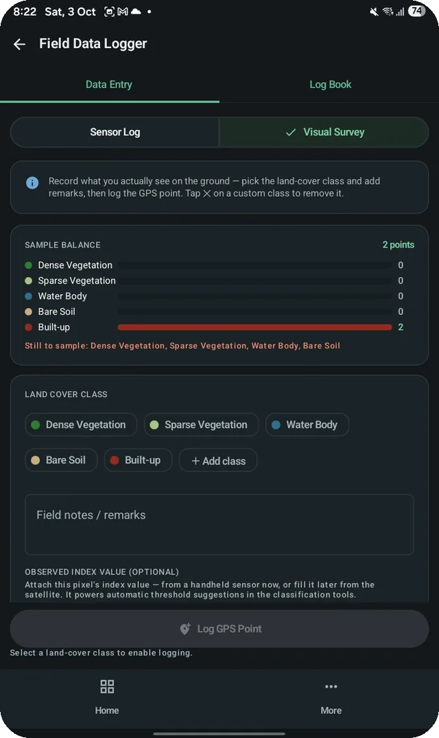
GPS field camera
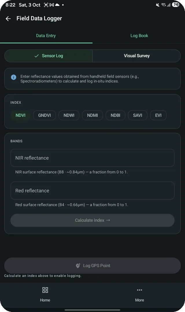
Geotagged photos with on-image location stamps, plus field and sky-condition notes, all timestamped and linked to the map. Works offline.
GIS-ready exports
GeoTIFF, Shapefile, CSV and KMZ, or push to Google Drive. Files open directly in QGIS and ArcGIS. Pro also adds log review, Cloud Scorer and Seasonality Planner.
Your data, your cloud
Field tools run on your phone. Earth Engine analysis runs on Google's servers under your own account and Cloud project. GISFORUS runs no server.
Also in the app
Index library
49 indices, grouped by what you're looking for.
Not sure which one fits? Each index has a plain-English guide in the indices reference.
Free and Pro
Capture and analyse free. Go Pro to take it further.
Everything you need in the field is free. Pro removes ads and unlocks exports, log review and the Pro analysis tools.
| Free | Pro | |
|---|---|---|
| GPS field camera, field and sky logging | ✓ | ✓ |
| Boundary and shapefile extractor (offline) | ✓ | ✓ |
| Run and view Earth Engine analysis (49 indices) | ✓ | ✓ |
| Ad-free | — | ✓ |
| Review and export field and sky logs | — | ✓ |
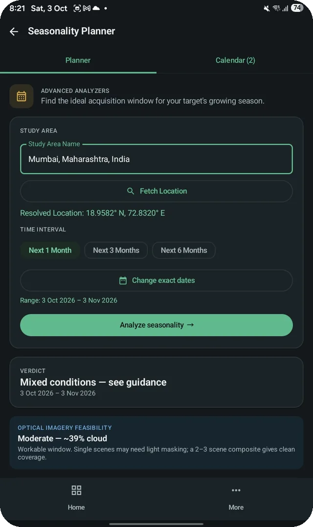
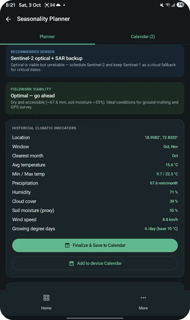
| Pro analysis tools (Cloud Scorer, Seasonality Planner and more) | — | ✓ |
| Full formula code for every index | — | ✓ |
| Data exports: GeoTIFF, Shapefile, CSV, KMZ, Google Drive | — | ✓ |
Pro is available as a one-time lifetime purchase or as a monthly or annual subscription, all through Google Play Billing. Google Play shows the price in your local currency before you buy. The free version shows ads through Google AdMob; see our terms and privacy policy.
Getting started
Up and running in three steps.
Get it from Google Play
Install GISFORUS Field; Play keeps it updated automatically.
Link your Earth Engine
Sign in with the Google account that owns your Earth Engine project. Needed only for the analysis module.
Pick an area and run
Search a district or draw a box, choose an index, then save, photograph or export.
FAQ
Android app questions.
Do I need a Google Earth Engine account?
Only for the satellite analysis module, which runs on your own Earth Engine project under your quota. The field camera, logging, boundary extractor and other field tools work without one. Google offers Earth Engine free for noncommercial and research use; commercial use needs a paid plan from Google.
Do I have to sign in?
Only for Earth Engine analysis. That module asks you to sign in with the Google account that owns your Earth Engine or Cloud project. The field camera, logging and boundary tools work without signing in.
Does the app work offline?
Field capture and the boundary tools work fully offline. Earth Engine analysis needs an internet connection, because it runs on Google's servers. Anything you have exported stays saved on your device.
Which permissions does the app ask for?
Camera and location (precise and approximate) for the GPS field camera and field points; storage only on Android 9 and older, for saving files; Google Drive access only when you export a result to Drive; and internet for Earth Engine, ads and local weather (your current coordinates go to Open-Meteo, with no account or other personal data). The free version uses the Advertising ID for AdMob ads.
What does Pro include?
Pro removes ads and unlocks data exports (GeoTIFF, Shapefile, CSV, KMZ, Google Drive), review and export of field and sky logs, the Pro analysis tools such as Cloud Scorer and Seasonality Planner, and the full formula code for every index. It is sold through Google Play as a one-time lifetime purchase or a monthly or annual subscription; Google Play shows the price in your currency.
Can I open the exports in QGIS or ArcGIS?
Yes. GeoTIFF, Shapefile, CSV and KMZ exports (Pro) open directly in QGIS, ArcGIS and Google Earth.
Can I back up my data or move it to a new phone?
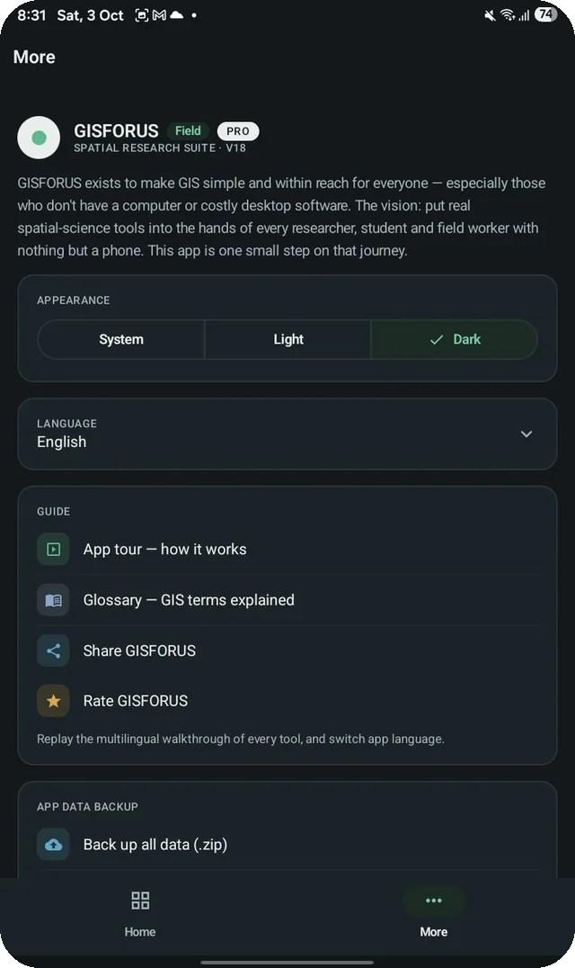
Yes. In More → App data backup, back up all your data as a .zip file and restore it on another device.
Which Android versions are supported?
Android 7.0 (Nougat) or later. The app is built for the latest Android release and installs from Google Play on any phone that meets that minimum.
Is there an APK download?
No. GISFORUS Field is distributed only through Google Play, so you get automatic updates and Play Protect checks.
How do I get support?
Use the contact form or write to anant4infinity@gmail.com. Include your phone model and Android version.
Need the full lab?
Spatial Research Suite for Mac and Windows adds classification, trend tests, a marine module and Publication Studio.